Home / Weather / Western NC Drenched: Flood Watch in Effect
Western NC Drenched: Flood Watch in Effect
23 Jul
Summary
- A flood watch is active for Western North Carolina through Thursday evening.
- Localized rainfall could reach up to 5 inches in some areas.
- Heavy rain and thunderstorms are expected with a slow-moving cold front.
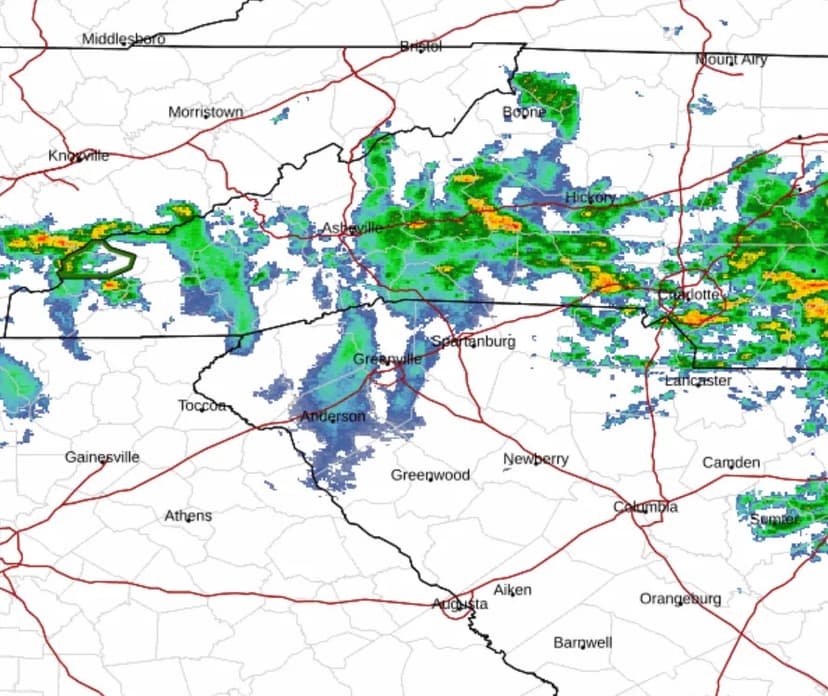
Western North Carolina is currently experiencing a period of heavy rainfall, prompting a flood watch issued by the National Weather Service. This watch remains in effect through Thursday evening, July 23, with concerns of flash flooding due to excessive runoff. Localized areas could see as much as 5 inches of rain.
The weather is characterized by waves of heavy rain showers and scattered thunderstorms moving along a slow-moving cold front. While 1-2 inches of rain are anticipated across the region, isolated downpours might significantly exceed this amount. This inclement weather is not connected to Tropical Storm Bertha affecting the Gulf Coast.
The forecast for Asheville predicts a 90% chance of precipitation on Thursday, July 23, with highs near 79 degrees, and a 60% chance overnight. Friday and Saturday also show a high probability of showers and thunderstorms, with temperatures in the mid-to-high 70s.
Hendersonville faces a 100% chance of showers and thunderstorms on Thursday, July 23, with highs near 77 degrees. The weekend forecast for Hendersonville also includes a high likelihood of showers and thunderstorms, with daytime temperatures ranging from the low 70s to high 70s.


