Home / Weather / UK Braces for Arctic Blast and Snowfall
UK Braces for Arctic Blast and Snowfall
17 Nov
Summary
- Significant snowfall expected across three UK regions.
- Disruption anticipated during Tuesday's morning rush hour.
- Cold health alert issued for Northwest, Northeast, and Yorkshire.
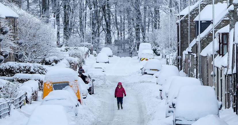
The United Kingdom is preparing for a significant change in weather conditions as a northerly flow of Arctic air is set to be replaced by a more unsettled system moving in from the west. This shift is predicted to bring snow to many areas, with some regions anticipating accumulations of 5-15cm above 300-400 meters. Slower accumulation is also possible at lower elevations.
This incoming weather system poses a risk of disruption, particularly during the morning rush hour on Tuesday. The Met Office has issued warnings, noting potential impacts on roads and railways, with a small chance of power outages and mobile service interruptions. Affected areas in England include Yorkshire, Derbyshire, Northumberland, Greater Manchester, Cumbria, and Lancashire.
The UK experienced its coldest night of the season on Sunday, with temperatures dropping to -7.7C in the Scottish Highlands. In response to the anticipated colder conditions, the UK Health Security Agency has issued a yellow cold health alert for the North West, North East, and Yorkshire and the Humber, which will remain in place until 9 am on Thursday. These alerts highlight the increased risk to vulnerable individuals and the potential strain on healthcare services.
Looking ahead, Wednesday is expected to be breezy with a mix of rain, showers, and sunny spells. Thursday and Friday will see scattered showers in the south, with conditions gradually becoming sunnier and colder from the north.


