Home / Weather / UK Heatwave Ends: Thunderstorms and Heavy Rain Arrive
UK Heatwave Ends: Thunderstorms and Heavy Rain Arrive
3 Aug
Summary
- Heavy rain and thunderstorms are expected to end the current heatwave.
- Much of England and Wales have been officially in drought conditions.
- Heat alerts are in place for several areas until early August.
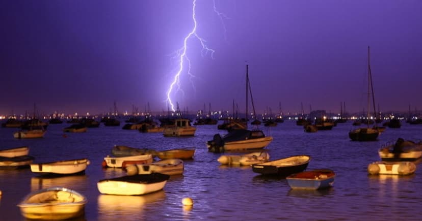
Britain is anticipating a significant shift in weather as the current high-pressure system, responsible for recent scorching temperatures, is expected to give way to heavy rain and thunderstorms within days. This change offers a potential end to drought conditions plaguing much of England and Wales, which recorded less than 1mm of rainfall in July.
On Tuesday, an area of low pressure will move across the UK, bringing rain to the north and showers to the south, with temperatures potentially reaching 30C again in some areas. Thunderstorms are forecast for Northern Ireland early Tuesday, with Cumbria and the Northeast of England also expecting thunder and heavy showers. By mid-morning, rain and storms are predicted to affect North Wales, the Northwest of England, the Midlands, and as far south as Devon and Hampshire.
Further predictions show storms could return to the Irish Sea by Tuesday afternoon, with Belfast potentially experiencing storms. The Met Office anticipates warmer conditions for England and Wales associated with showers or thunderstorms, while the north will remain cooler with potential for heavy rain, especially in Scotland. Heat alerts from the UK Health Security Agency are in effect for several areas until August 5. Maps for August 10 indicate widespread wet conditions, particularly across the North and Midlands of England, with moderate temperatures expected.


