Home / Weather / UK Snow Alert: Purple Maps Show Wintry Blast Coming
UK Snow Alert: Purple Maps Show Wintry Blast Coming
10 Nov
Summary
- Weather maps show purple shading indicating potential snowfall across parts of UK.
- Colder air may cause precipitation to change from rain to snow in some areas.
- The Met Office forecast indicates unsettled weather systems arriving from the North Atlantic.
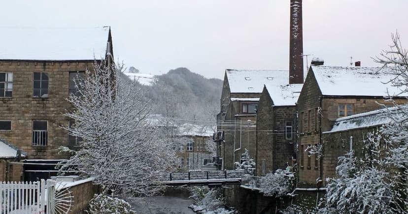
UK weather forecasts indicate a possibility of snow reaching parts of Wales and England, as new weather maps display purple shading to signify potential wintry precipitation. This suggests colder air could alter current rainfall into snow in certain regions. Further analysis of the forecast models shows wintry precipitation concentrated in Scotland by late November, with some signals hinting at southern reaches, though this remains uncertain.
The Met Office's long-range outlook for November 14 to November 23 suggests an initial period of stable weather controlled by high pressure, with possible overnight frosts and scattered showers in western coastal areas and Scotland. However, this is expected to give way to more unsettled conditions later in the weekend.
Weather systems moving in from the North Atlantic are predicted to bring more widespread rain and stronger winds. While colder spells and frost are anticipated at times, temperatures are generally expected to be near or slightly above average for the season. Widespread snow is not currently indicated by the official long-range forecast.


