Home / Weather / UK Faces Snow Alert: Disruptive Weather Ahead
UK Faces Snow Alert: Disruptive Weather Ahead
16 Nov
Summary
- A yellow snow warning is active from midnight to noon on Tuesday.
- Snowfall expected between 1-5cm on higher ground, up to 15cm in spots.
- Potential disruption to travel and possible ice on infrastructure.
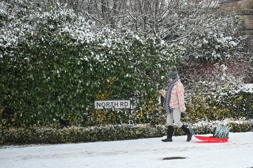
A yellow warning for snow has been issued by the Met Office, affecting large parts of the UK. The alert is active from Tuesday midnight until noon, covering areas from the West Midlands to southern Scotland. Rain is expected to turn into snow as it moves into colder air within the designated alert zone.
Forecasters anticipate snowfall of 1-5cm on higher ground, with accumulations of 5-15cm possible above 300-400 metres. This is expected to cause travel disruption on elevated routes and may lead to ice forming on infrastructure like power lines. Conditions on Tuesday are described as unsettled, with strong wind gusts of 50-60 mph contributing to hazardous conditions.
Additionally, a yellow warning for ice is in effect across northern England and Scotland until Monday morning, with icy patches on roads and pavements. The UK Health Security Agency has also issued a yellow cold health alert for the North West, North East, and Yorkshire and the Humber regions, indicating increased healthcare service use and risks to vulnerable individuals.


