Home / Weather / Major Flash Flooding Possible in Tri-State Area
Major Flash Flooding Possible in Tri-State Area
26 Jun
Summary
- Severe storms threaten Tri-State with tornadoes and high winds.
- 1 to 3 inches of rain expected, with higher amounts locally.
- A flood watch is in effect through Sunday morning.
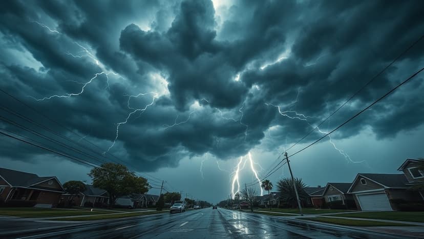
The Tri-State area is bracing for another round of severe storms on Friday, accompanied by warnings from the National Weather Service of potential tornadoes, damaging winds, and torrential downpours. This follows a period of heavy rainfall, with Evansville receiving 1.3 inches on Thursday evening and an additional 0.79 inches early Friday. A flood watch is currently in effect and expected to continue through Sunday morning due to the repeated storm systems.
Weather service meteorologists have indicated that the upcoming storms could lead to considerable or major flash flooding over the weekend. Forecasters predict another 1 to 3 inches of rain across the region, with isolated thunderstorms potentially dropping 3 to 6 inches in specific locations. Residents are advised to stay informed about weather alerts as the situation develops.