Home / Weather / Severe Storms Pummel Kansas City Metro, Damaging Homes and Vehicles
Severe Storms Pummel Kansas City Metro, Damaging Homes and Vehicles
18 Oct
Summary
- Severe thunderstorm warning issued for Clay and Platte counties
- Storms expected to bring 1-inch hail and 60 mph wind gusts
- Storm moving east at 40 mph, impacting major highways and cities
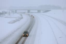
On the early morning of October 18th, 2025, the National Weather Service issued a severe thunderstorm warning for Clay and Platte counties in the Kansas City metropolitan area. The storms are expected to bring quarter-sized hail, measuring 1 inch in diameter, and wind gusts up to 60 mph.
As of 2:42 a.m., the storm was reported over Weatherby Lake, moving east at a rapid pace of 40 mph. The severe weather is expected to impact several major cities and highways, including Kansas City, Gladstone, Lansing, Smithville, Parkville, Platte City, Riverside, and nearby communities. Additionally, the storm is forecast to affect Interstate 29 (mile 1-19), Interstate 635 (mile 9-12), and Interstate 435 (mile 21-42).
The National Weather Service advises residents in the affected areas to seek shelter immediately, moving to an interior room on the lowest floor for safety. The severe thunderstorm warning remains in effect until 3 a.m., and officials are urging the public to stay vigilant and prepared for potential damage to vehicles, roofs, siding, and trees.