Home / Weather / Heat, Storms Loom for Polk as Gulf System Watches
Heat, Storms Loom for Polk as Gulf System Watches
15 Jul
Summary
- Polk County to experience highs in mid-90s with heat index over 100.
- Thunderstorm chances exceed 50% from Friday, July 17, through July 21.
- A low-pressure system in the Gulf has a low chance of tropical development.
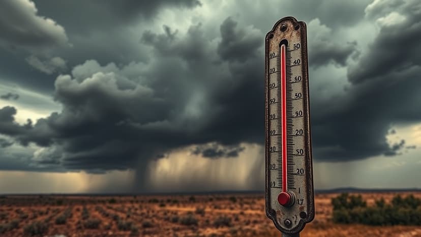
Polk County residents can expect a persistent pattern of intense heat and frequent thunderstorms through the upcoming weekend. Forecasts indicate daily highs will hover in the mid-90s, with the heat index soaring above 100 degrees Fahrenheit. Thunderstorm activity has a greater than 50% probability for most days between Friday, July 17, and Tuesday, July 21.
This localized weather pattern is unfolding as National Weather Service forecasters observe a low-pressure system forming in the northeastern Gulf of Mexico. While this system has been publicly discussed, its potential for developing into a named tropical cyclone remains uncertain, with the National Hurricane Center assigning it a low chance of development over the next seven days. Any significant development would be the second named storm of the season, potentially named Bertha or Cristobal, as the average date for the second storm is July 17.


