Home / Weather / Tri-State Under Flood Watch: Severe Storms Threaten NYC
Tri-State Under Flood Watch: Severe Storms Threaten NYC
21 Jul
Summary
- Flood watch in effect for NYC and parts of New Jersey.
- Severe thunderstorms may bring damaging winds and large hail.
- NYC activated its Flash Flood Emergency Plan proactively.
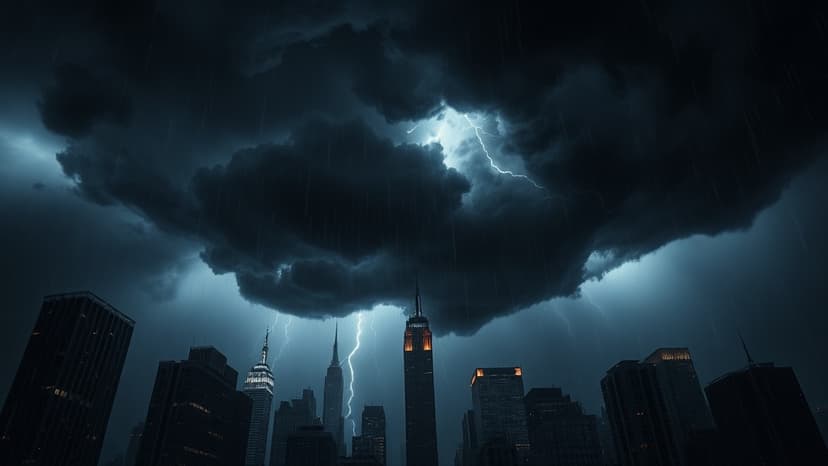
Severe weather is making a comeback in the Tri-State area, with a flood watch issued for New York City and most of New Jersey. Residents can anticipate wet conditions starting this morning, with temperatures in the 60s to low 70s and high humidity.
The situation is expected to intensify this afternoon with scattered downpours. A First Alert Weather Day has been declared due to the significant threat of strong-to-severe thunderstorms. These storms carry the risk of damaging winds, large hail, and torrential rainfall.
In response to the forecast, the New York City Emergency Management Department has activated the city's Flash Flood Emergency Plan. This proactive measure includes inspecting and clearing catch basins in flood-prone areas. The flood watch is active from Tuesday morning until Wednesday morning, with rainfall rates potentially reaching one to three inches per hour.
Looking ahead, the weather is expected to improve significantly after the storms pass. The remainder of the week promises dry conditions with lower humidity and highs generally in the lower 80s, which are below the typical late July average. Nighttime will see increasing clouds, but dry weather will persist with lows in the 60s and 70s.


