Home / Weather / Nor'easter Brings Blustery Conditions and Coastal Flooding to Florida's East Coast
Nor'easter Brings Blustery Conditions and Coastal Flooding to Florida's East Coast
8 Oct
Summary
- Cold front to bring cooler, drier air to Florida this week
- Nor'easter to bring breezy conditions and dangerous surf to east coast
- Minor to moderate coastal flooding expected along the Atlantic coast

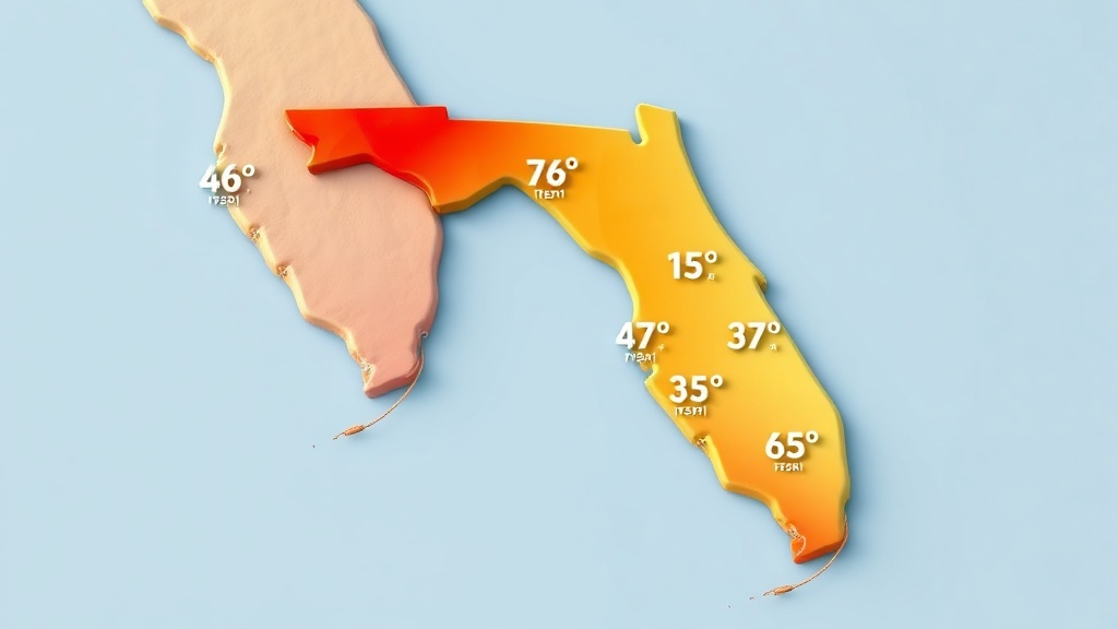
As of October 8th, 2025, a cold front is set to move through North Florida on Thursday, October 9th, bringing isolated showers and thunderstorms. The front will then reach Central Florida on Friday and push through South Florida by Saturday.
While temperatures are not expected to change drastically, a Nor'easter is developing just offshore the East-Central Florida coastline. This storm system is expected to bring breezy and gusty northeasterly winds to the region, with inland areas seeing winds of 15-20 mph and coastal areas experiencing stronger gusts of 20-30 mph.
The Nor'easter is also expected to cause minor to moderate coastal flooding, with high tides 1 to 3 feet above normal and rough surf of 4-5 feet along the east-central Florida beaches. Breakers could reach 4-6 feet along the Northeast Florida coast. Moderate tidal flooding of 2-3 feet above normally dry ground is likely to continue along the Atlantic coast, Intracoastal Waterway, and St. Johns River Basin through the weekend.
Advertisement
Despite the stormy conditions, the National Weather Service has confirmed that there is no risk of frost or freeze warnings in Florida for the remainder of the week and into the weekend.


