Home / Weather / NJ Icy Threat: Black Ice Grips State Post-Storm
NJ Icy Threat: Black Ice Grips State Post-Storm
28 Dec, 2025
Summary
- Lingering freezing drizzle creates hazardous travel conditions statewide.
- State of emergency active, though commercial vehicle restrictions lifted.
- Forecast predicts continued cold with potential for snow squalls next week.
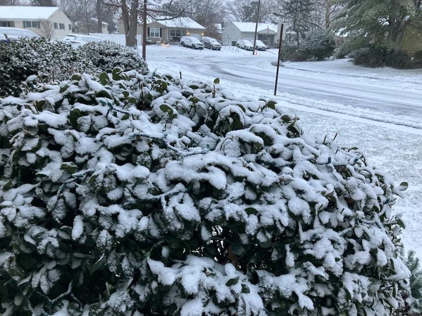
New Jersey faces hazardous travel conditions Saturday morning as a winter storm transitions to freezing drizzle, creating a significant risk of black ice across untreated surfaces. Despite snowfall totals falling short of initial forecasts, the shift to freezing rain has heightened concerns. A state of emergency remains active statewide, though commercial vehicle restrictions have been lifted as of 8 a.m. Saturday.
The weather service forecasts lingering cold, with temperatures struggling to reach freezing and potential for black ice to persist through Saturday night and into Sunday morning, especially on roadways and bridges. Drivers are urged to exercise extreme caution during early morning travel on Sunday. Conditions are expected to gradually improve with clearing skies and rising temperatures.
The week ahead predicts a dynamic weather pattern, starting with more freezing rain in northern New Jersey on Sunday before a substantial warm front brings temperatures into the 50s and 60s by Monday, potentially with showers and thunder. Colder conditions will return Tuesday through Friday, bringing the possibility of snow squalls, particularly in northwestern areas, with high temperatures remaining in the 30s.