Home / Weather / NJ Braces for Severe Storms: Flooding, Winds, and Tornado Threat
NJ Braces for Severe Storms: Flooding, Winds, and Tornado Threat
17 Jul
Summary
- New Jersey anticipates severe thunderstorms on Saturday with flash flooding.
- Damaging winds, hail, and isolated tornadoes are possible threats.
- Unhealthy air quality from Canadian wildfire smoke precedes storms.
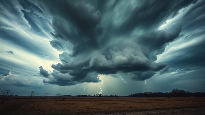
New Jersey is bracing for a significant weather event anticipated for Saturday, July 19, 2026. Forecasters predict multiple rounds of showers and thunderstorms, potentially starting before noon and continuing after sunset. The entire state is under a slight risk of severe weather, rated level 2 out of 5.
Forecasters warn of a significant risk of wind damage, a notable risk of flash flooding, and the potential for isolated tornadoes. Rainfall rates could reach up to 2 inches per hour in the most intense storms, exacerbating the threat of flash flooding.
Ahead of the storms, New Jersey faces ongoing unhealthy air quality caused by Canadian wildfire smoke. An air quality alert remains in effect statewide. While smoke conditions may improve midday Friday, they are expected to return Friday night into Saturday.
Temperatures on Friday are expected in the 80s, offering some relief. Saturday will see highs in the low 80s in northern counties and low 90s in South Jersey, with humidity making it feel much warmer. Conditions are predicted to improve significantly by Sunday with sunny skies and lower humidity.


