Home / Weather / Laurel County Strengthens Emergency Response with New Data
Laurel County Strengthens Emergency Response with New Data
7 Jul
Summary
- New weather station enhances emergency response in southeastern Kentucky.
- Data aids agriculture, transportation safety, and historical climate records.
- This is the 86th Mesonet station, filling a critical network gap.
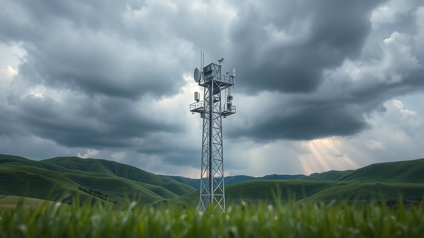
A new Kentucky Mesonet station was recently installed in Laurel County, marking a significant advancement for weather monitoring and emergency response in southeastern Kentucky. This marks the 86th station in the network, helping to fill a crucial gap in data collection for the region.
The station, located at the Laurel County Center for Innovation, will provide vital real-time data on atmospheric and soil conditions. This information is essential for emergency managers, farmers, and transportation officials.
Data from the new station will support severe weather response, disaster recovery efforts, and the creation of long-term historical climate records. Its proximity to Interstate 75 also makes it valuable for transportation-related forecasting and monitoring road conditions.
This expansion of the Kentucky Mesonet network, operated by Western Kentucky University, aims to move closer to statewide coverage. Local officials emphasized the direct benefits the station will provide for years to come.


