Home / Weather / Minnesota Braces for First Snowfall: Travel Advisory Issued
Minnesota Braces for First Snowfall: Travel Advisory Issued
25 Nov
Summary
- A two-part winter storm is expected to bring rain and snow to Minnesota.
- The Twin Cities could see their first measurable snowfall of the season.
- Strong winds and low visibility may impact Thanksgiving morning travel.
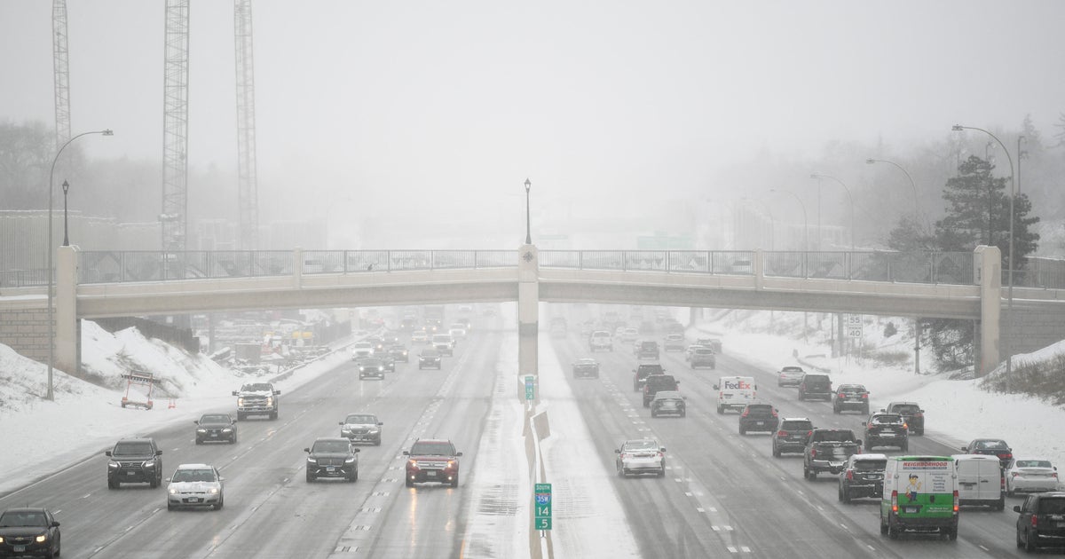
A significant winter storm is poised to impact Minnesota over the next two days, bringing the potential for the Twin Cities' first measurable snowfall of the season. Meteorologists predict a two-part system, with the initial wave arriving Monday evening as rain, followed by a second wave on Tuesday that will bring a mix of rain and snow. A NEXT Weather Alert is in effect from Tuesday through Wednesday, signaling hazardous conditions.
Anticipated snow accumulations could reach one to two inches in the Twin Cities area by Wednesday morning. Further north and west, locations like Blaine and Forest Lake might experience between three to five inches. The most substantial snow totals, ranging from five to eight inches, are projected for areas north of Brainerd and in the Arrowhead region, according to NEXT Weather Meteorologist Adam Del Rosso.
These accumulating snow totals, combined with strong wind gusts between 30 to 40 mph, are expected to create hazardous travel conditions. Visibility on the roads may be severely reduced, particularly impacting Thanksgiving morning travel. Officials advise drivers to exercise caution, allow extra travel time, and prioritize safety on affected roadways.