Home / Weather / Minnesota braces for severe storms: winds, hail, and tornadoes possible
Minnesota braces for severe storms: winds, hail, and tornadoes possible
23 Apr
Summary
- Severe weather poses risks of heavy rain, damaging winds, and hail across Minnesota.
- The Twin Cities metro and southern Minnesota face a Level 2 slight risk.
- Potential threats include winds over 60 mph and a small chance of an isolated tornado.
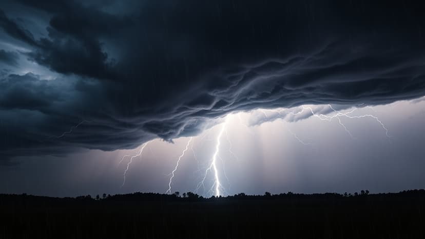
Severe thunderstorms are expected to impact Minnesota on Thursday afternoon and evening, bringing threats of heavy rain, damaging winds, and hail. A cold front moving through the state will likely trigger scattered showers and thunderstorms from early afternoon into the evening hours.
Initial storms developing shortly after lunchtime may produce a brief hail threat. As these storms grow and organize into lines and clusters, the primary concern will shift to damaging wind gusts potentially exceeding 60 mph. There is also a very small chance of an isolated tornado developing.
The Twin Cities metro and southern Minnesota are designated under a Level 2 slight risk for severe weather. In contrast, central and northern portions of the state are at a Level 1 marginal risk. The atmosphere holds a significant amount of moisture for this time of year, meaning very heavy downpours could accompany the strongest storms, leading to some minor and short-lived street flooding.