Home / Weather / Indiana Braces for Record Early Winter Storm
Indiana Braces for Record Early Winter Storm
29 Nov, 2025
Summary
- Indianapolis issued its first winter storm warning since at least 2008.
- A weak La Niña cycle may contribute to early, heavy snowfall.
- Indiana is experiencing an earlier and faster winter transition this year.
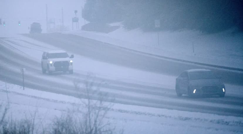
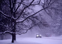
Indiana is facing an unusually early and intense start to winter, with the Indianapolis National Weather Service issuing its first winter storm warning since at least 2008. Forecasters anticipate 2 to 5 inches of snow, a significant event for late November.
The early winter conditions are being partly attributed to a weak La Niña cycle, which can influence weather patterns by bringing increased precipitation. Coupled with colder temperatures and weather systems moving from the Southwest, these factors are aligning for a potentially anomalous winter start.
Meteorologists note a faster transition into colder weather this year compared to recent seasons, where winters have often begun more gradually. While La Niña typically suggests wetter winters for Indiana, current temperature outlooks predict averages for the season, indicating a mix of cold snaps and warmer periods.