Home / Weather / Great Lakes Brace for Arctic Blast & Snow
Great Lakes Brace for Arctic Blast & Snow
2 Jan
Summary
- Winter storm targets Great Lakes with heavy snow.
- Up to 3 feet of snow possible downwind of Lakes Erie and Ontario.
- Travel will be very difficult with deep snow and poor visibility.
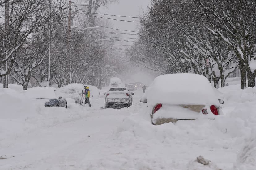
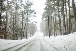
The National Weather Service has issued a new winter storm warning for the Great Lakes area, anticipating significant snowfall as arctic air surges across the eastern two-thirds of the country. The "lake-effect snow machine" is expected to be active, amplified by an incoming Alberta clipper system. States situated downwind of Lakes Erie and Ontario are forecast to receive the heaviest snow accumulations, potentially reaching 1-2 feet with isolated bands experiencing over 3 feet within the next couple of days.
New York is bracing for substantial snowfall, with the potential for an additional 1-to-3 feet from Wednesday afternoon into Saturday, January 3rd. This follows a recent record-breaking December snowfall in Syracuse, which received over 19 inches in a 24-hour period. The National Weather Service warns that travel will be severely impacted by deep snow cover and very poor visibility, particularly affecting Wednesday evening commutes.
Residents are advised to be prepared for "rapidly-changing" weather conditions, as lake effect snow can cause drastic shifts from heavy snowbands to dry spells over short distances. The "forceful" arctic cold front is predicted to bring heavy snow showers and snow squalls, creating hazardous conditions for those observing New Year's Eve festivities.