Home / Weather / Tornado Warning Ends, But Fresno's Severe Weather Risk Continues
Tornado Warning Ends, But Fresno's Severe Weather Risk Continues
10 Apr
Summary
- Severe thunderstorm capable of producing a tornado was near South Dos Palos.
- System threatened quarter-size hail, 70 mph winds, and dangerous flying debris.
- Broader storm pattern could produce rare severe weather through the weekend.
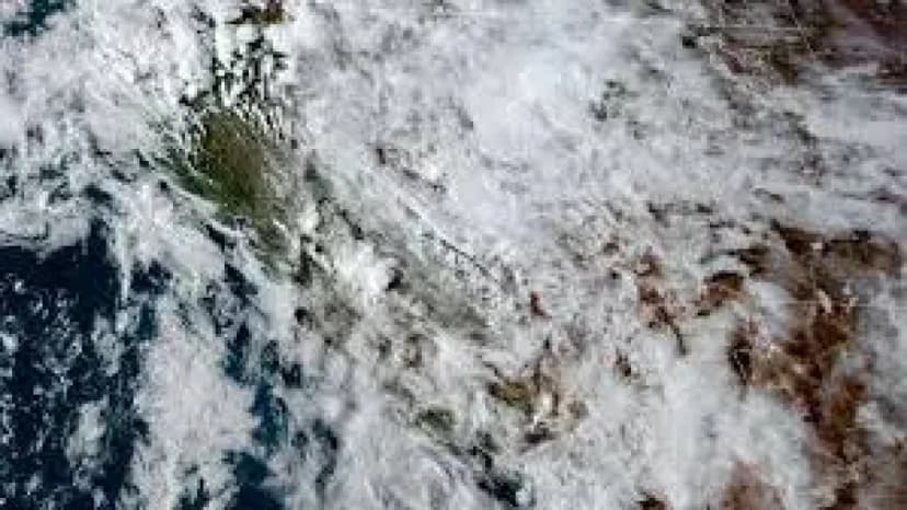
A volatile spring storm system brought a swift change in Fresno weather, moving from a tornado warning to a widespread severe storm threat. Officials cautioned residents about potential quarter-size hail, 70 mph wind gusts, and dangerous flying debris affecting western Fresno and southwestern Madera counties.
The initial warning, which expired on Thursday evening, was based on radar-indicated rotation suggesting a tornado might develop. Separately, the same system was capable of producing damaging winds, quarter-size hail, and heavy rain, leading to localized flash flooding concerns.
Residents in affected areas were advised to seek immediate shelter in basements or interior rooms, away from windows. Those outdoors, in vehicles, or mobile homes were urged to find substantial shelter and protect themselves from flying debris.
Forecasters noted that this broader storm pattern created conditions favorable for severe thunderstorms across California, a relatively uncommon occurrence for the state. This system held the potential for lightning, hail, strong wind gusts, and isolated funnel clouds or tornadoes throughout the weekend.