Home / Weather / Waterspout Wreaks Havoc on Florida's Treasure Coast
Waterspout Wreaks Havoc on Florida's Treasure Coast
18 Jul
Summary
- A waterspout formed in the intracoastal waterway on July 17.
- St. Lucie and Martin counties experienced severe flooding and high winds.
- Some areas received three to five inches of rain in a few hours.
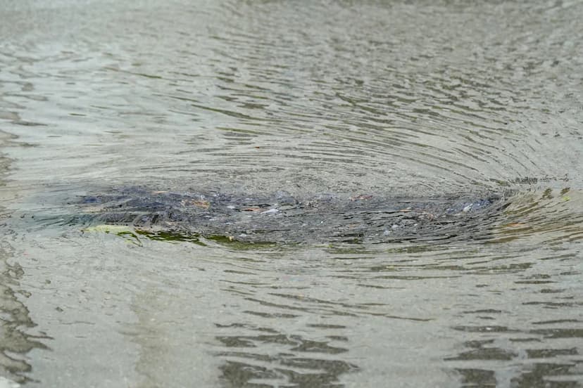
On July 17, Florida's Treasure Coast was struck by a series of severe weather events, including a waterspout, heavy rainfall, and strong winds. The National Weather Service reported the waterspout formed in the intracoastal waterway of Indian River County around 5:18 p.m. This phenomenon resulted from a collision between storms moving from the west and the east coast sea breeze.
While the waterspout did not reportedly move onto land, the accompanying storms were intense, particularly affecting St. Lucie and Martin counties. These areas received a significant amount of rain, with some locations recording three to five inches within a couple of hours. A wind gust of 56 mph was recorded at the Treasure Coast International Airport in St. Lucie County, highlighting the severity of the weather.
The rainfall was particularly heavy in Stuart, near the downtown area. Meteorologists noted that while the waterspout was a dramatic event for many, the widespread wind and heavy rainfall in St. Lucie and Martin counties were the most impactful elements of the evening's weather. Such intense summer weather is not uncommon in Florida.


