Home / Weather / Florida Braces for Frigid Blast!
Florida Braces for Frigid Blast!
16 Jan
Summary
- Central Florida faces a Freeze Warning from 1 a.m. to 9 a.m.
- Morning lows will reach the 20s northwest of I-4.
- Temperatures will slowly rebound to the 70s by Saturday afternoon.
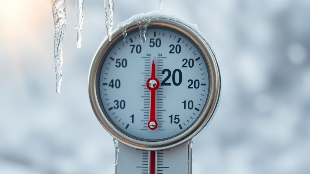
Central Florida is set to experience a frigid and blustery conditions starting tonight, with a Freeze Warning issued for nearly all of the region from 1 a.m. to 9 a.m. tomorrow. Many areas, particularly northwest of I-4, will see temperatures fall at or below freezing, with lows potentially reaching the 20s. This cold air mass is the coldest felt in over three years.
Gusty northerly winds will persist, creating wind chills in the 20s, despite a decrease in overall wind speed compared to today. Sunshine tomorrow will offer little relief as afternoon highs struggle to climb into the 50s across the area. The cold pattern continues into Saturday morning with lows in the 30s and 40s, but a notable improvement is expected in the afternoon with highs reaching near 70 degrees under sunny skies.
However, the respite will be short-lived as another cold front arrives Sunday, bringing scattered showers and another round of unusually cold temperatures. Monday morning is forecast to see lows in the low to middle 30s, possibly dipping near or below freezing again, with afternoon highs remaining in the mid to upper 50s. There's a slight chance of snowflakes in the panhandle with this system.