Home / Weather / Extreme Weather Whiplash Grips Central US with Record Highs and Lows
Extreme Weather Whiplash Grips Central US with Record Highs and Lows
13 Nov
Summary
- Rapid weather shift impacts Texas, Missouri, Arkansas, and Oklahoma
- Record-challenging warmth follows recent Arctic cold and freezing temps
- Dramatic temperature swings heighten wildfire risks in parched regions
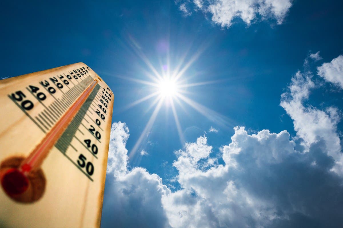
On 2025-11-13T00:31:48+00:00, a rapid weather shift is impacting several central U.S. states, with the potential to break daily high-temperature records just days after a powerful Arctic cold front brought freezing temperatures and even snowfall to the region.
Earlier this week, a significant early-season cold spell plunged temperatures in the central and southern U.S. to below-average levels, with widespread freeze warnings issued across the South, including in Florida. However, forecasts now show a dramatic shift, as a pronounced bulge in the jet stream is bringing warm, southerly air back to the Plains and Mississippi Valley.
As a result, temperatures in Texas, Missouri, Arkansas, and Oklahoma are projected to reach the 70s and 80s by late this week, challenging or breaking multiple daily record highs, especially across Texas and Oklahoma. The forecasted warmup represents a swing of 20 to 30 degrees in some locations within just a few days.
This rapid temperature fluctuation is also aggravating wildfire concerns, as the warm, breezy, and dry conditions are forecast to persist over already-parched vegetation in the Plains states. The National Weather Service has warned of an increased risk of wildfire ignition and rapid spread due to the combination of warm air and breezy conditions.