Home / Weather / DFW Braces for Cooler Temps After Warm Spell
DFW Braces for Cooler Temps After Warm Spell
8 Jan
Summary
- Rain chances return Thursday, with severe storm risk north of I-20.
- A cold front brings much colder air for the weekend.
- Expect weekend lows in the 30s and highs in the 50s.
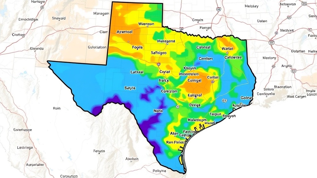
Residents in the Dallas-Fort Worth area are preparing for a dramatic temperature drop following a period of warm and muggy weather. Rain chances are forecast to return on Thursday as a weather disturbance moves through the Plains, with the highest likelihood of showers and storms expected north of Interstate 20. There is a marginal risk for severe storms in areas northwest of DFW and along the Red River.
Ahead of a cold front expected to arrive Friday afternoon, additional rain chances are possible, especially for areas southeast of DFW. Following the passage of this front, a noticeably colder air mass will settle over the region for the weekend. Temperatures will plummet, with overnight lows predicted to be in the 30s and afternoon highs struggling to reach the 50s.
The cooler conditions are expected to be relatively short-lived, as a slow warm-up is anticipated by early next week. This forecast indicates a significant change from the current warm spell, urging residents to prepare for frosty mornings and chilly afternoons throughout the weekend.