Home / Weather / D.C. Area Faces Severe Thunderstorm Threat Tonight
D.C. Area Faces Severe Thunderstorm Threat Tonight
16 Oct
Summary
- Severe Thunderstorm Watch active until 8 p.m. tonight.
- Winds up to 70 mph and isolated tornadoes possible.
- Temperatures to drop 25-30 degrees by Saturday.
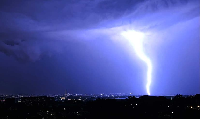
A Severe Thunderstorm Watch has been issued for Arlington, Falls Church, and much of the Washington D.C. metropolitan area, remaining active until 8 p.m. tonight. The National Weather Service forecasts widespread wind gusts reaching up to 70 mph, alongside the potential for isolated hail up to a half inch and a couple of tornadoes.
The storms are expected to develop along a strong cold front. Much of the region east of the Blue Ridge and north of Route 50 and I-66 is under a Slight Risk (level 2 of 5) for severe weather, primarily due to the threat of damaging winds. This marks the first Severe Thunderstorm Watch for Arlington since September 4.
Following the passage of the cold front, a significant temperature decrease of 25-30 degrees is anticipated. Today's high near 83 degrees will give way to a high of approximately 54 degrees on Saturday. North winds are expected to gust as high as 29 mph. Saturday night's low is forecast around 38 degrees, with potential for frost or freeze alerts early Sunday, particularly west of I-95.


