Home / Science / Drone Surveys and Sonar Mapping Reveal Surprises in Eastern Himalayan Glaciers
Drone Surveys and Sonar Mapping Reveal Surprises in Eastern Himalayan Glaciers
15 Nov, 2025
Summary
- Joint expedition by Centre for Earth Sciences and National Centre for Polar and Ocean Research
- Successful aerial surveys and bathymetric mapping of Khangri Glacier and Rani Lake
- First scientific scaling and reconnaissance of Dharkha Tso, a GLOF-susceptible lake
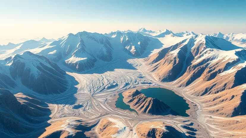
In November 2025, a joint expedition led by the Centre for Earth Sciences and Himalayan Studies (CESHS) and the National Centre for Polar and Ocean Research (NCPOR) has made significant progress in the scientific understanding of glacier dynamics, climate change impacts, and water resource sustainability in the Eastern Himalayas.
The week-long expedition, which took place from November 8 to 14, 2025, successfully carried out high-resolution aerial surveys of the Khangri Glacier and the Rani Lake using advanced drone platforms equipped with precision sensors. A notable achievement was the unmanned sonar-based bathymetric survey of Rani Lake, which revealed the presence of aquatic life at a depth of 20 metres, an important finding in this high-altitude glacial environment.
The team also retrieved critical summer-season data from the automatic weather station and automatic water level recorder installed earlier on the Khangri Glacier. Additionally, they completed 24-hour stream discharge assessments downstream of the glacier to analyze meltwater behavior and hydrological variations.
A landmark accomplishment of this year's expedition was the first scientific scaling and reconnaissance of Dharkha Tso, one of the 29 glacial lake outburst flood (GLOF)-susceptible lakes identified by the National Disaster Management Authority in Arunachal Pradesh. The team trekked through heavy snow and challenging terrain to reach the lake and conduct aerial drone mapping, as well as water and sediment sampling for detailed GLOF hazard assessment.
The successful completion of the fourth expedition marks a significant step forward in India's scientific efforts to study glacier health, meltwater contribution, hydrometeorological patterns, and glacial lake outburst flood risks in the Eastern Himalayas.