Home / Health / Measles Map: See Your Local Risk Now
Measles Map: See Your Local Risk Now
15 Jan
Summary
- New map shows measles vaccination rates by ZIP code.
- US measles cases reached a 33-year high in the past year.
- Vaccination coverage of 95% is needed to prevent outbreaks.
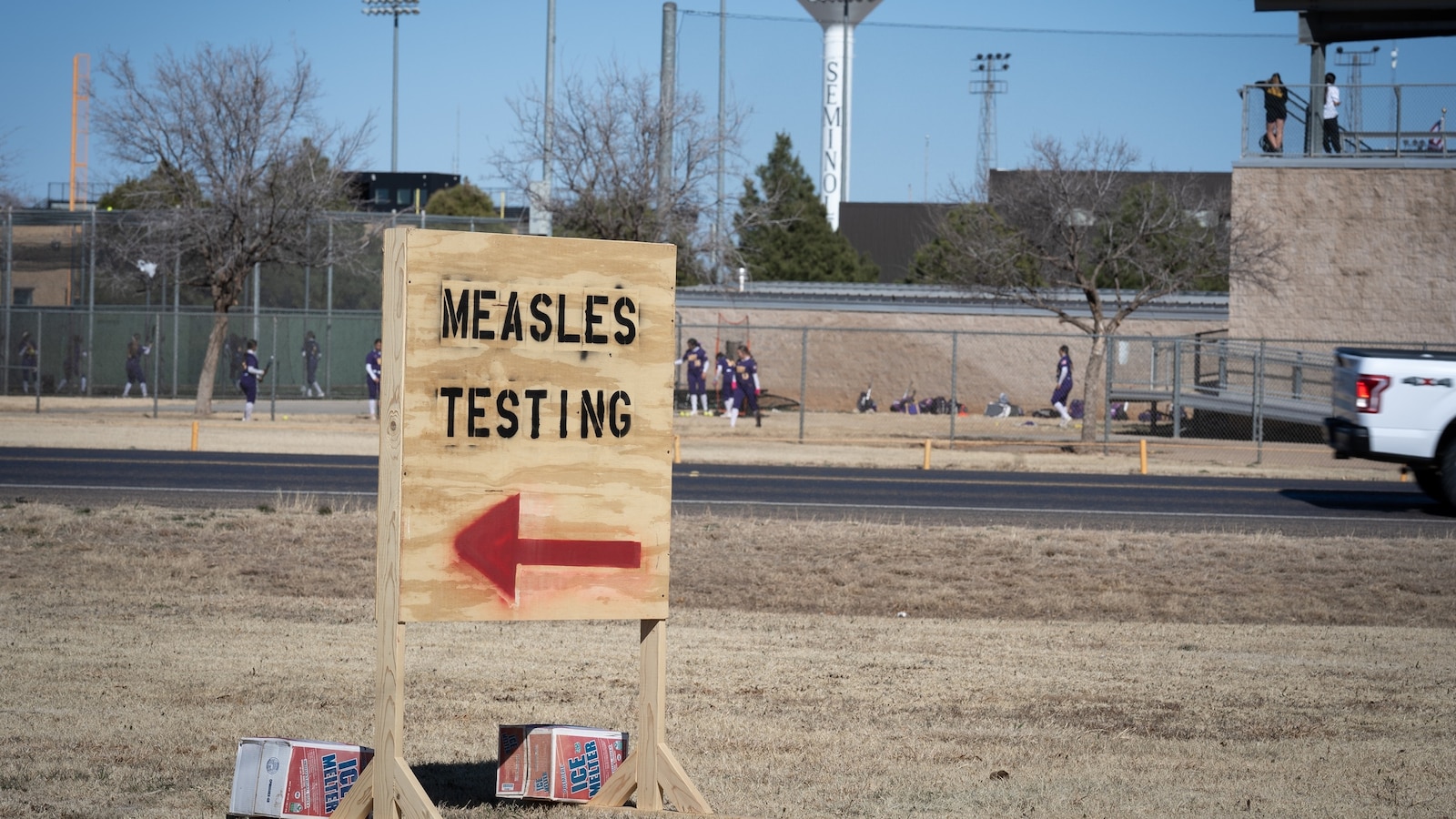
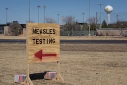
For the first time, a map has been developed to assess local measles risk by allowing users to enter their ZIP code and view estimated vaccination percentages among neighbors. This tool addresses rising concerns as the U.S. experienced a 33-year high in measles cases last year, with 2,242 infections reported across 44 states.
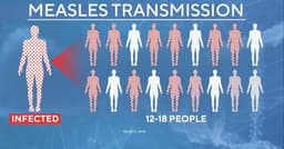
Researchers from leading institutions have identified "hot spots" of low vaccination coverage in areas like West Texas and southern New Mexico. These regions, along with parts of Mississippi and the rural Southeast, show concerningly low MMR vaccination rates, increasing their vulnerability to outbreaks. The Centers for Disease Control and Prevention recommends at least 95% vaccine coverage to prevent disease spread effectively.
The development coincides with a steady decline in MMR vaccination rates among kindergarteners since before the COVID-19 pandemic. This trend leaves nearly 300,000 children unprotected against measles, a highly contagious virus that can spread rapidly in communities with insufficient herd immunity. Public health officials stress that vaccination decisions impact community-wide protection.