Home / Environment / Cloud Secrets: Predict UK Snowfall Hours Ahead
Cloud Secrets: Predict UK Snowfall Hours Ahead
18 Nov
Summary
- Arctic air will bring temperatures as low as -5°C to parts of the UK.
- Specific cloud types can indicate approaching snow within hours.
- Disruptive snow is not currently expected for most of the UK this week.
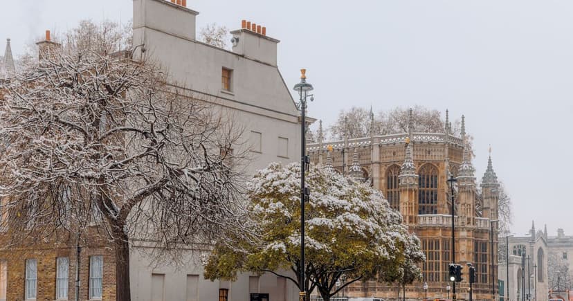
Early-season Arctic air is forecast to bring temperatures down to -5°C in parts of the UK, potentially ushering in brief sleet and snow showers to northern Scotland, Shetland, and Orkney this week. Longer-range forecasts and cold snaps suggest wintry conditions may develop later in November and continue through the winter months.
Forecasters can look to the skies for predictive signs. Cumulus and Stratocumulus clouds, commonly seen, are unlikely to produce precipitation. However, the presence of Nimbostratus clouds, described as thick, dark-grey blanket clouds, indicates a primary snow cloud.
Altostratus clouds, mid-level grey or bluish sheets, can also signal approaching snow or rain. The earliest warning comes from Cirrostratus clouds, high-altitude ice-crystal formations that create halos around the sun or moon, often preceding snow or rain within 10 to 24 hours.
Towering Cumulonimbus clouds, with anvil-shaped tops, are a strong indicator of heavy snow or blizzards, often accompanied by gusty winds or thunder. The Met Office notes that while a cold snap is bringing frost and ice to northern Scotland, widespread disruptive snow is not currently anticipated for most of the country.


