Home / Environment / UK Braces for Arctic Blast: Snow and Freezing Temps Ahead
UK Braces for Arctic Blast: Snow and Freezing Temps Ahead
7 Nov
Summary
- Sub-zero temperatures as low as -7C are forecast for the UK.
- Wintry showers including snow, sleet, and hail are expected mid-November.
- Fog warnings are in effect for parts of Southeast and East England.
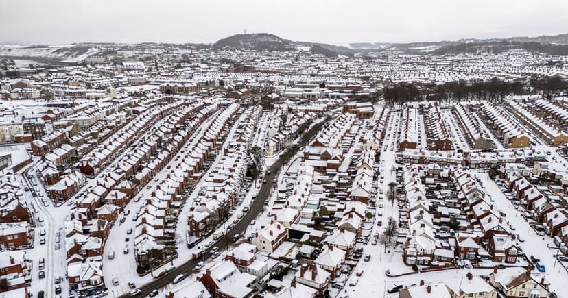
Temperatures across the UK have recently dropped, with Aviemore in the Scottish Highlands recording -1.1C. The Met Office forecasts further cold conditions and "wintry showers" from November 10. Sleet and snow are likely in various regions for several days in mid-November as low pressure moves in from the Atlantic.
While the far north might experience isolated wintry showers, most of the UK is expected to have fine, dry weather. Unsettled conditions are predicted to continue into the following week, though temperatures may rise above average overall after cold starts. Historically, some areas like Tomintoul have recorded much colder temperatures in November, with the first snowfall last winter occurring on November 18, 2025.
Forecasters now anticipate temperatures could plunge to -7C in the coming weeks, creating conditions favourable for the season's first snowfall. Weather maps suggest north Wales and parts of northwest England could be among the coldest areas. The Met Office's long-range forecast from November 11 to December 5 indicates a transition from rain in the south to clearer, drier conditions spreading from the north.
Wintry showers, a mix of sleet, snow, and hail, are expected during this period. Although conditions might become drier and slightly warmer by early December, mirroring a milder start to November, dense fog has already caused a gloomy weekend in Southeast England, East England, and Greater London, with weather warnings active.


