Home / Environment / Tamil Nadu to Map Every Tree in Six Cities
Tamil Nadu to Map Every Tree in Six Cities
30 Nov, 2025
Summary
- A comprehensive tree census and green space survey will be launched across six major Tamil Nadu cities.
- The survey uses satellite imagery and geospatial tech to map green spaces and individual trees.
- A web-based dashboard will provide real-time insights for data-driven urban planning decisions.
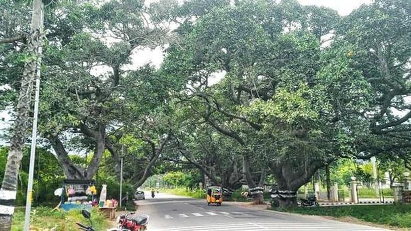
The Forest Department is set to launch a significant tree census and green space survey across six key cities in Tamil Nadu, including Chennai, Coimbatore, Tirupur, Madurai, Tiruchi, and Salem. This initiative aims to meticulously map the current state of urban greenery, utilizing high-resolution satellite imagery and sophisticated geospatial technologies to understand distribution and density.
The project will establish a detailed inventory of urban trees, identifying and geo-tagging each one. It will also assess the vital ecological services provided by these green spaces, such as carbon sequestration and heat island effect mitigation, while identifying new opportunities for urban forests.
To facilitate informed decision-making, a dedicated web-based dashboard will be developed, integrating various data sources. This tool will empower city planners with real-time insights to enhance green cover, promote biodiversity, and strengthen climate resilience strategies throughout the state, with an allocation of ₹90 lakh for the project.