Home / Environment / Historic El Niño To Reshape US Snowfall This Winter
Historic El Niño To Reshape US Snowfall This Winter
17 Aug
Summary
- A super El Niño event is expected this winter with high probability.
- Snowfall may increase in the Southwest and southern Rockies.
- Northern US states could experience below-average snowfall.
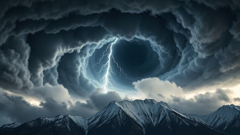
A powerful El Niño event is strengthening in the Pacific Ocean, with forecasters estimating a 69 percent chance it will reach historic proportions, potentially earning the title 'super El Niño.' This phenomenon is expected to significantly alter winter snowfall patterns across the United States for the 2026-27 season.
The latest outlooks suggest a shift in snowfall, favoring above-normal accumulations across the Southwest, including California, Utah, Arizona, New Mexico, and parts of Colorado. This is attributed to an active southern storm track, a common characteristic of strong El Niño winters.
Conversely, regions in the northern U.S. and Canada may experience below-average snowfall. Washington state, for instance, could see warmer temperatures limiting snow, despite near-normal precipitation. This developing climate pattern is being closely monitored globally, with potential impacts also noted for the Alps and Scandinavia, though warmer conditions might affect lower elevations.
For ski resorts and mountain communities, particularly in the western U.S., this forecast offers hope for a rebound after a difficult 2025-26 season. The period between January and March is predicted to be the most favorable for snowfall in key mountain areas as the El Niño influence peaks. However, forecasters caution that warmer temperatures can also lead to rain at lower elevations in some regions.
Globally, the outlook varies. While the Alps and Scandinavia might see increased snow, Japan is projected to have below-normal snowfall and above-average temperatures. Despite these projections, the full extent of this developing super El Niño's impact remains under observation as it continues to strengthen.


