Home / Environment / San Rafael Sinks: Bay Area Faces Rising Tides
San Rafael Sinks: Bay Area Faces Rising Tides
7 Jan
Summary
- San Rafael's Canal District faces sinking land and rising sea levels.
- Latino and working-class residents endure chronic flooding impacts.
- Engineering and innovative architecture offer potential resilience solutions.
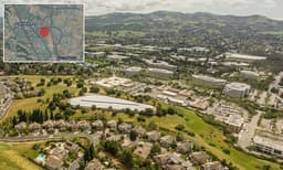
San Rafael, California, specifically its Canal District, is identified as the Bay Area's most vulnerable neighborhood to escalating sea-level rise. The region's foundation, comprised of former wetlands, contributes to land sinking, exacerbating the impact of rising ocean levels. Parts of eastern San Rafael have already sunk by several feet, with sea levels projected to rise significantly in the coming decades.
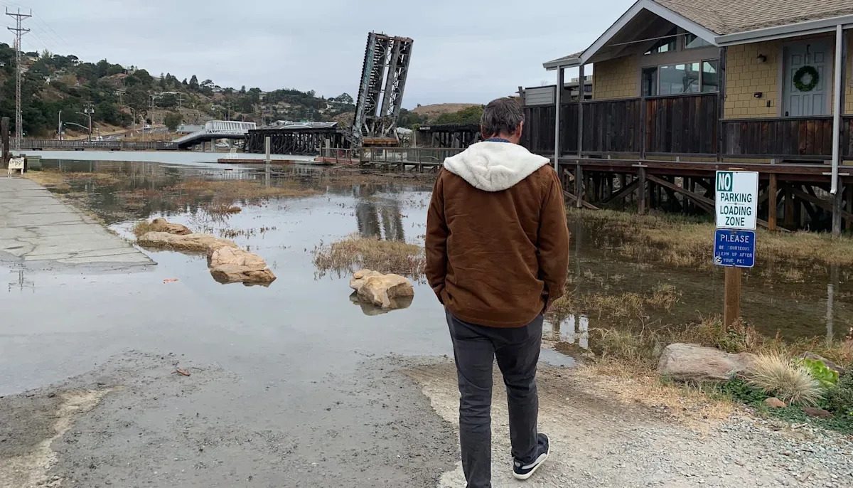
This climate impact disproportionately affects the area's Latino and working-class residents, leading to chronic flooding that affects homes and infrastructure. Experts warn that major exit roads could be permanently submerged by 2050 if current trends continue. Human-induced pollution from burning fossil fuels is identified as the primary driver of these warming conditions and subsequent sea-level rise.
Efforts to mitigate these effects are underway, including engineering solutions such as elevating roadways and constructing levees. Innovative architectural designs, like flood-proofing lower floors and exploring floating structures, are also being considered. Community-driven initiatives and policies promoting clean energy and resilient builds aim to secure a safer, drier future for San Rafael.