Home / Environment / Ontario Braces for Snowfall Storm
Ontario Braces for Snowfall Storm
10 Feb
Summary
- Snowfall expected to bring 10-15 cm by Wednesday morning.
- Temperatures may rise above 0°C in Toronto after weeks below.
- Gusty winds of 40-60 km/h will cause blowing snow and hazardous travel.
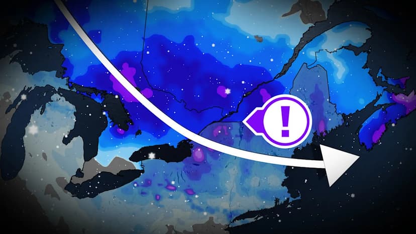
A clipper system is currently moving through Ontario, bringing significant snowfall and disruptions to travel conditions across various regions.
As of Tuesday morning, commuters are facing snow, with a possibility of light freezing rain or ice pellets developing before dawn, particularly in southwestern areas. This system is projected to move towards Ottawa by the afternoon, with snowfall accumulation of 10 to 15 centimeters anticipated by Wednesday morning.
Following this initial system, near-seasonal temperatures are expected to move into southwestern Ontario. Toronto may experience temperatures above 0°C for the first time in over three weeks. Scattered snow flurries are also possible on Wednesday due to lake-effect snow off Lake Huron.
Central and southern Ontario are forecast to experience gusty winds between 40 to 60 km/h midweek, leading to reduced visibility from blowing snow and hazardous travel conditions.
Looking ahead, there is a possibility of additional snow later in the week for central and eastern Ontario, influenced by a low-pressure system over Quebec. Forecasters are also monitoring a developing low in the U.S. that could approach southern Ontario late Sunday or early Monday, with further updates expected as the path becomes clearer.