Home / Environment / NYC Frozen: Satellite Shows Rivers Capped With Ice
NYC Frozen: Satellite Shows Rivers Capped With Ice
4 Feb
Summary
- Satellite image reveals scale of New York's winter storm.
- Hudson and East Rivers, plus reservoirs, show significant ice cover.
- Frozen rivers disrupted ferry services and raised flooding concerns.
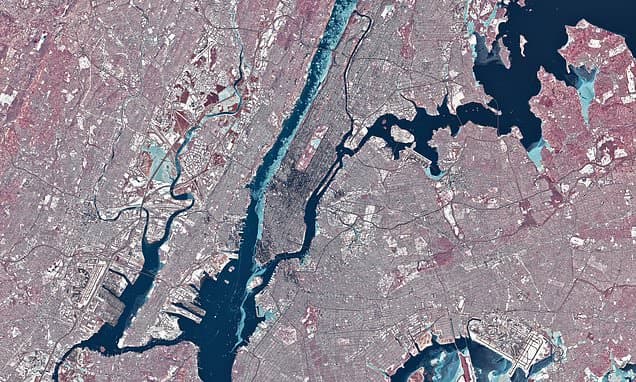
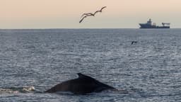
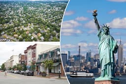
A recent deep freeze in New York saw temperatures plummet, leading to an extraordinary sight: frozen rivers. On January 28, NASA's Landsat 8 satellite captured a striking image revealing extensive ice cover on the Hudson River, East River, and the Jacqueline Kennedy Onassis Reservoir.
The frozen waterways significantly impacted city life, forcing the NYC Ferry to suspend services for multiple days. Beyond transportation disruptions, NASA noted that river ice can contribute to flooding and damage infrastructure. This phenomenon typically occurs when colder, less saline water from upstream freezes more readily than the brackish water near the river's mouth.