Home / Environment / India's River Flows Backwards: A Geological Marvel
India's River Flows Backwards: A Geological Marvel
15 Jan
Summary
- Narmada River defies convention, flowing west instead of east.
- Geology dictates its unique path through a rift valley.
- Temples and pilgrimage sites mark its sacred, steady course.
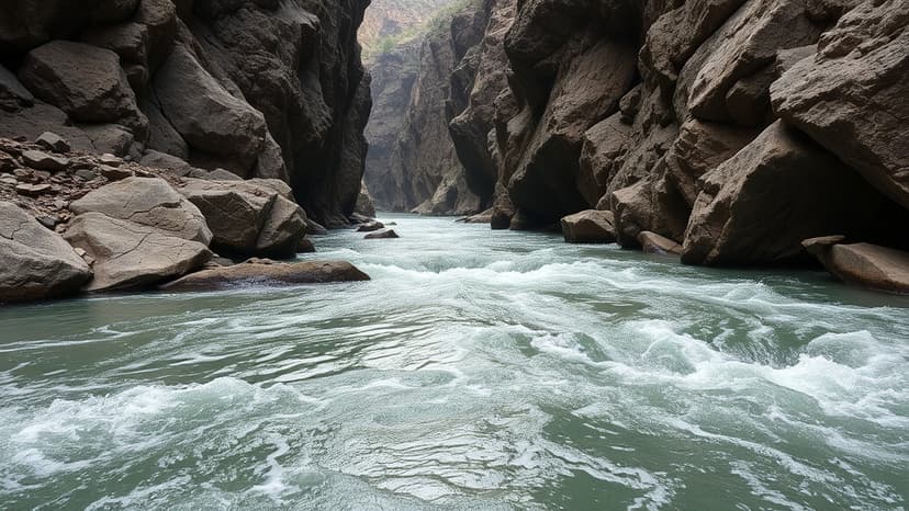
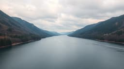
Contrary to the typical eastward flow of India's major rivers, the Narmada River embarks on a unique westward journey. Originating from Amarkantak in Madhya Pradesh, this fifth-longest river in India carves its path through a geologically significant rift valley, a testament to ancient tectonic forces. Its course, distinct from conventional patterns, leads it to meet the Arabian Sea near Bharuch, Gujarat.
The Narmada's flow is profoundly influenced by the Vindhya and Satpura ranges, forming a rift valley that dictates its westward direction. This unique geological setting means the river does not form a wide delta but an estuary upon reaching the sea. Large-scale infrastructure projects, including the Sardar Sarovar Dam, have been developed along its course for power generation and water supply, though these have also sparked ongoing debates about displacement and environmental impact.
Beyond its geological significance, the Narmada holds deep cultural and spiritual importance. Revered as a living entity, its banks are dotted with numerous temples and pilgrimage sites, including Maheshwar and Omkareshwar. Many undertake the Narmada Parikrama, a long circumambulation of its course, highlighting the river's integral role in faith, settlement, and the daily lives of people across Madhya Pradesh, Maharashtra, and Gujarat.