Home / Environment / Karnataka Lakes & Wells Mapped in New Census
Karnataka Lakes & Wells Mapped in New Census
13 Sep
Summary
- Nearly 39,000 lakes and 14.18 lakh wells mapped in Karnataka.
- Data funded by Union Ministry of Jal Shakti uses 2023-24 as reference.
- Census aims for scientific planning of water resources and conservation.
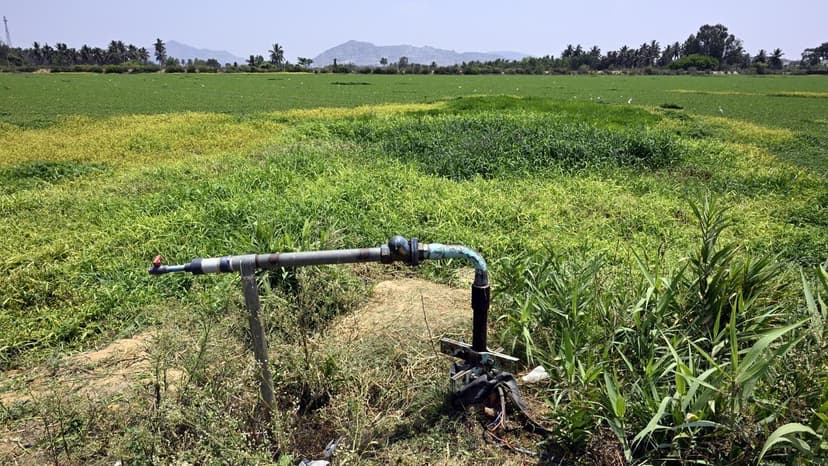
The seventh Minor Irrigation Census and second Census of Water Bodies in Karnataka have concluded their fieldwork, mapping approximately 39,000 lakes and water bodies, alongside 14.18 lakh agricultural wells. This comprehensive data, with 2023-24 as the reference year, was funded by the Union Ministry of Jal Shakti.
The census covered 30,671 villages and numerous urban local bodies, with fieldwork completed in August 2026. Minister Ajay Singh highlighted that the data is crucial for assessing the state's water resources, enabling scientific planning for future irrigation and conservation projects.
This data will facilitate prioritized water security interventions in drought-prone regions, lake rejuvenation, groundwater recharge, and construction of water conservation structures. The government aims for efficient water resource management through data-driven planning and technology utilization, informed by these census findings. The report also noted a slight reduction in overall groundwater extraction between 2024 and 2025.


