Home / Environment / Fausto's Swells Outrun Weakening Storm
Fausto's Swells Outrun Weakening Storm
28 Jul
Summary
- Long-period swells from Hurricane Fausto are hitting Hawaii's east shores.
- Waves travel faster than the storm that created them, posing a hazard.
- A High Surf Advisory is in effect, with warning-level surf possible.
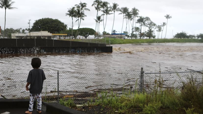
Long-period swells generated by Hurricane Fausto are now impacting Hawaii's east-facing shores, despite the storm's weakening intensity. These powerful waves, created when Fausto was a Category 2 hurricane with 105 mph winds, are traveling faster than the storm itself. A High Surf Advisory is in effect for Oahu and the Big Island, with surf expected to reach 10 to 14 feet through Wednesday.
Forecasters predict warning-level surf, up to 15 feet, is possible on some east-facing shores by Tuesday into early Wednesday. The National Weather Service advises extreme caution, especially around areas like Oahu's Windward coast and Hilo's Bayfront Highway. Rip currents are a significant concern, with deceptive calm periods between large swells posing a unique danger. This El Niño year has seen an accelerated hurricane season, with Fausto being the first Central Pacific storm.
Officials are treating Fausto's passage as a hurricane season rehearsal, urging preparedness. Residents and visitors should stay off east-facing beaches, secure outdoor items, and maintain a 14-day supply of essentials. While the storm's direct wind and rain impact is expected to remain offshore, the surf threat is significant and independent of the storm's weakening path.


