Home / Environment / Flood Maps Deceive: Millions More at Risk
Flood Maps Deceive: Millions More at Risk
8 Nov
Summary
- FEMA flood maps are outdated and don't assess individual home risks.
- About 6 million more homes face flooding than official maps indicate.
- Flood vulnerability depends on water depth, building age, and finances.
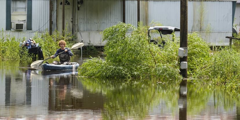
Official flood maps from FEMA often fail to capture the true flood risk facing millions of homes. Mounting evidence suggests approximately 6 million more properties are vulnerable than these maps, which can be decades old and rely on historical data, indicate. These maps primarily answer if a neighborhood might flood, not the specific risk to an individual home.
Factors beyond location significantly influence flood vulnerability. These include the probable flood depth at a home, its age and construction quality, and the availability of flood insurance. Even homes on the same street can face drastically different risks based on these individual characteristics.
Research in Houston identified flood risk scores for nearly one million homes. This study combined data on potential flood depth, building age and maintenance, local road traffic, and financial repair costs. The findings revealed that flood vulnerability can vary more significantly between individual houses within a neighborhood than between neighborhoods themselves.
Homeowners can assess their own risk by inquiring about past flooding, checking property records for home age, and verifying flood insurance coverage. Communities can utilize this data-driven approach to prioritize limited flood-protection funds for the most vulnerable housing. This granular understanding of risk is essential as flood impacts do not adhere to simple map boundaries.


