Home / Environment / New Satellites Detect Fires Faster Than Ever
New Satellites Detect Fires Faster Than Ever
18 Jul
Summary
- FireSat satellites can detect fires as small as 5x5 meters.
- Launch on July 7, 2026, marks initial operational capability.
- Data will aid fire agencies in the US, Australia, and Europe.
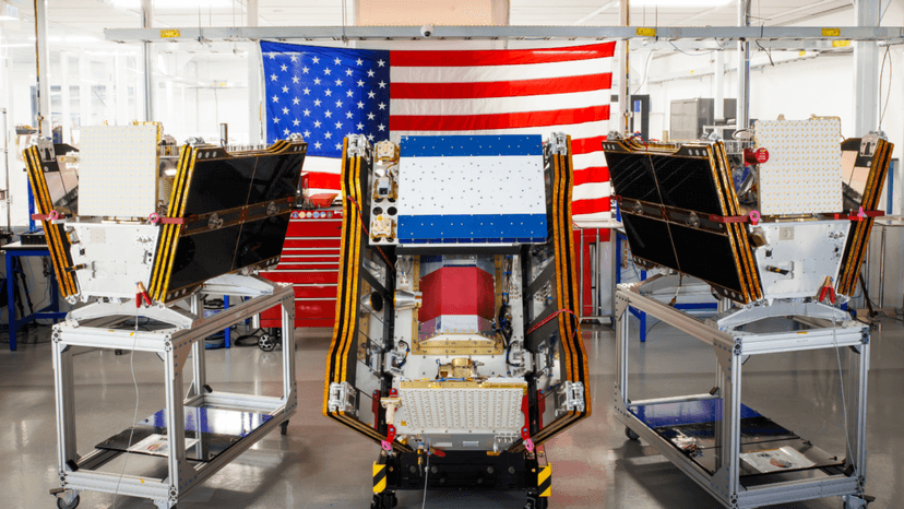
Launched on July 7, 2026, the first three FireSat satellites have successfully reached orbit, marking a significant step towards initial operational capability for the Earth Fire Alliance. These satellites, designed by Muon Space and supported by over $15 million from Google, are purpose-built for wildfire detection.
Equipped with advanced multispectral imaging, each satellite can identify fires as small as five by five meters, even through smoke and clouds. This capability was previously demonstrated by a protoflight satellite, proving its effectiveness in detecting low-intensity blazes. Fire agencies in California, Colorado, Australia, and Portugal are among the first to utilize this data.
The FireSat program anticipates hourly imagery by 2029 and 20-minute intervals with a full constellation of over 50 satellites by the early 2030s. This advanced detection could prevent billions in fire damage, reduce carbon emissions, and protect thousands of homes and acres of land.
Google Research plans to integrate its AI models with FireSat data to enhance early fire identification and predictive modeling, aligning with climate resilience goals. However, the article also notes the environmental costs associated with large AI data centers and the worsening wildfire problem driven by climate change.


