Home / Environment / AI Revolutionizes Arctic Ecology: Predicting Risks to Flora and Fauna
AI Revolutionizes Arctic Ecology: Predicting Risks to Flora and Fauna
11 Nov
Summary
- AI algorithms analyze satellite and aerial images to identify pollution areas and generate environmental risk maps
- Predictive ecology combines data from satellites, ice buoys, and sensors to simulate coastline destruction and ice melt
- Arctic Team student expeditions plan to use AI to analyze samples and identify pollution sources
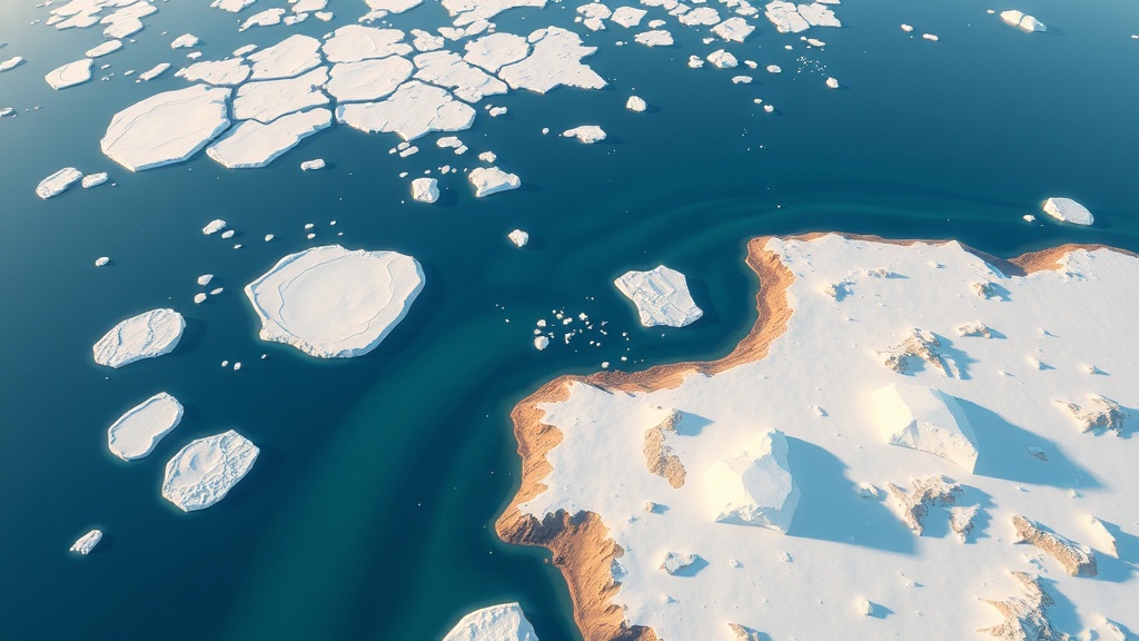
As of November 11, 2025, scientists have started using artificial intelligence to evaluate potential risks to the Arctic's flora and fauna. According to Andrey Rybnikov, a representative from MIREA University, machine vision algorithms are being used to identify pollution areas and generate real-time environmental risk maps by analyzing satellite and aerial images of the Kara and Barents Seas.
Another key development is the use of predictive ecology, where AI helps simulate coastline destruction, monitor ice melting, and assess potential risks to the region's wildlife. By combining data from satellites, ice buoys, and autonomous sensors, scientists can now move from post-factum observations to understanding how the natural system is changing over time and why.
The Arctic Team student expeditionary force plans to leverage AI during the upcoming season to analyze chemical and biological samples, as well as images from drones, in the protected areas of the White and Barents Seas. This will help them identify pollution sources and better understand the region's ecology. As Rybnikov explains, the main value of AI in Arctic research is not in replacing humans, but in the ability to uncover insights from the data that would otherwise be difficult to detect.