Home / Disasters and Accidents / Flood Maps Fail as Climate Change Fuels Disasters
Flood Maps Fail as Climate Change Fuels Disasters
22 Jun
Summary
- FEMA flood maps don't cover all areas, leaving many uninsured.
- Climate change increases extreme weather, overwhelming old flood models.
- Outdated mapping fails to account for rainfall-driven flooding.
- Michigan experienced unprecedented floods due to record rain.
- Residents were told they weren't in flood zones despite living near water.
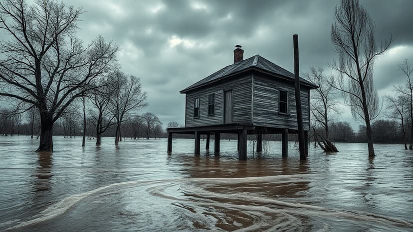
Devastating floods in northern Michigan this past spring left many homeowners unprotected, highlighting critical flaws in federal flood mapping. Residents like Tom and Diane Peterman, who moved to their retirement home on Black Lake 14 years ago, were denied flood insurance due to unavailable maps. Similar issues affected John Solum, who was told his cabin wasn't in a flood zone. These events underscore how outdated FEMA flood plain maps fail to account for modern risks. Climate change exacerbates these vulnerabilities, increasing the frequency and intensity of extreme weather events. A warmer atmosphere holds more moisture, leading to heavier rainfall and snowmelt, as seen in Michigan's record March snow followed by record April rains. This combination overwhelmed waterways and infrastructure. Experts like Richard Rood, a University of Michigan climate scientist, suggest these "historic" storms are becoming more typical of future climates. John Berginnis, executive director of the Association of State Floodplain Managers, emphasizes that Mother Nature doesn't follow statistical averages and communities must prepare. FEMA's mapping methodology, based on historical data and primarily focusing on riverine flooding, doesn't adequately consider the impact of overwhelming rainfall that saturates land and overwhelms stormwater systems, particularly in areas without comprehensive mapping. First Street, a research company, found significantly more properties at risk nationwide after incorporating rainfall data into their models, revealing that FEMA's maps are "missing a whole source of flooding." Despite a congressional mandate from 2012, FEMA's progress in mapping less-populated rural areas has been slow, with the agency historically prioritizing densely populated regions due to budget constraints. This leaves approximately two-thirds of the country's waterways unmapped. Concerns are also raised about FEMA's staffing levels, with reports indicating significant losses in recent years, potentially diverting resources from essential programs like mapping. Many communities also face challenges in accessing accurate flood risk information. Hundreds of communities, including some in Michigan, have not joined the National Flood Insurance Program (NFIP), potentially due to a lack of understanding of flood risks or insurance programs. Even for communities participating in the NFIP, homeowners may not receive accurate risk information if they rely solely on FEMA's National Risk Index, which can provide a false sense of security by not adequately highlighting flood risks when flood plain maps are absent. The Petermans' experience exemplifies this, as Diane was denied insurance despite her township participating in the NFIP. Experts advise homeowners and communities to seek information beyond FEMA's provided maps, suggesting that states and local communities may need to take a more proactive role in assessing and communicating flood risks.


