Home / Disasters and Accidents / Myanmar Shaken: Quakes Rattle Nation
Myanmar Shaken: Quakes Rattle Nation
19 Dec
Summary
- Myanmar experienced a magnitude 4.4 earthquake on Thursday.
- The nation sits between four tectonic plates, increasing seismic risk.
- Past quakes highlight health risks for displaced populations.
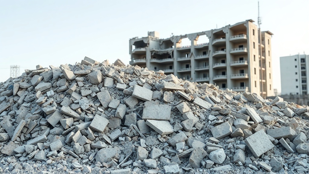
A magnitude 4.4 earthquake recently occurred in Myanmar at a depth of 100 kilometers. This event follows earlier tremors recorded on December 13 and December 11, highlighting a period of increased seismic activity. Myanmar's geographical position, situated between the Indian, Eurasian, Sunda, and Burma tectonic plates, renders it exceptionally susceptible to seismic disturbances.
The nation's vulnerability extends beyond immediate ground shaking. Following significant earthquakes in March, health threats such as tuberculosis, HIV, and water-borne diseases were warned by the WHO for affected populations. This underscores the cascading risks associated with geological events in densely populated regions.
The Sagaing Fault, a major geological feature, significantly increases seismic hazards for key population centers including Sagaing, Mandalay, Bago, and Yangon. Even Yangon, while distant from the fault trace, faces considerable risk due to its high population density, as demonstrated by a major earthquake in 1903 that impacted the city.