Home / Disasters and Accidents / Magnitude 7.0 Earthquake Rocks Alaska-Yukon Border
Magnitude 7.0 Earthquake Rocks Alaska-Yukon Border
21 Dec, 2025
Summary
- A magnitude 7.0 earthquake struck the St. Elias mountain range on December 6, 2025.
- The quake's epicenter was near the Alaska-Yukon border, causing significant glacier damage.
- Numerous landslides and avalanches occurred, affecting peaks like Mt. King George.
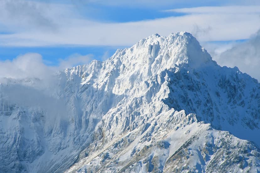
On December 6, 2025, a magnitude 7.0 earthquake struck the St. Elias mountain range, straddling the Canadian Yukon and Alaska border. The earthquake's epicenter was located approximately 230 miles northwest of Juneau, Alaska, and 155 miles west of Whitehorse, Yukon. Hundreds of aftershocks followed the initial seismic event.
Although no tsunami warning was issued and initial reports indicated no damage or injuries in nearby communities, the St. Elias range itself sustained considerable impact. The earthquake, a strike-slip event on the Fairweather Fault, triggered widespread landslides and avalanches. Debris from these slides covered large areas, with some flows extending up to 3.7 miles.
The Yukon Geological Survey documented extensive damage to glacial ice, including toppled seracs and ice falls, particularly on slopes of Mt. King George, Mt. Logan, and surrounding peaks. While no surface rupture was found, the damage to ice and persistent rockfall may present new hazards for future mountaineering and skiing expeditions in this renowned mountainous region.


