Home / Weather / Decoding Winter Storms: From Snow to Freezing Rain
Decoding Winter Storms: From Snow to Freezing Rain
23 Jan
Summary
- Snow requires consistent cold from clouds to ground.
- Sleet forms from melting snowflakes refreezing in a lower cold layer.
- Freezing rain creates the most dangerous ice, downing power lines.
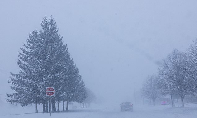
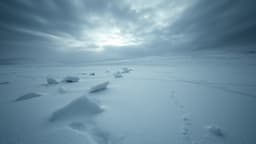
Winter storms manifest in various dangerous forms, including snow, sleet, and freezing rain, each with distinct formation processes. Snow requires a continuous cold atmosphere from cloud to ground to prevent melting. Conversely, sleet and freezing rain occur when snowflakes or raindrops encounter a warm layer and then refreeze before reaching the surface.
Sleet forms when raindrops refreeze into ice pellets, while freezing rain results in a layer of ice upon contact with surfaces. This latter phenomenon is deemed the most devastating, capable of creating treacherous icy conditions and downing power lines. Extreme cold is another critical winter hazard, with alerts issued for dangerous temperatures and wind chills.
The National Weather Service uses advisories and warnings to communicate the severity of cold weather. A cold weather advisory indicates likely dangerous conditions, an extreme cold watch suggests potentially life-threatening weather, and an extreme cold warning signifies that life-threatening weather is probable.