Home / Weather / Record Snowfall Drowns Waterloo Region in Winter's Grip
Record Snowfall Drowns Waterloo Region in Winter's Grip
3 Mar
Summary
- Waterloo region has already broken winter snowfall records by end of January.
- Temperatures are set to rise above freezing, reaching double digits by the weekend.
- Higher than usual water levels and ice in rivers pose flooding and ice jam risks.
Waterloo region is in the midst of a record-shattering winter season, with snowfall totals significantly exceeding historical averages. As of the end of January, the E.D. Soulis Memorial Weather Station recorded 206.5 cm of snow since mid-November, far surpassing the typical 95.3 cm. November itself was the snowiest since 1950, and December proved to be the second coldest in two decades.
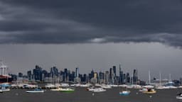
While the region anticipates a thaw with temperatures rising above freezing this week and potentially reaching double digits by Saturday, a water safety message is currently in effect until Thursday noon. Grand River Conservation Authority officials warn of higher-than-usual water levels and river flows, along with ice in many rivers, increasing the risk of flooding in low-lying areas and dangerous ice jams.
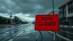
Authorities are reminding the public to stay away from rivers and frozen bodies of water due to unstable ice conditions. Despite the challenges posed by heavy snowfall, including bus cancellations and complaints about snow clearing, some residents are embracing the winter weather by enjoying activities like skiing and dog sledding.