
Home / Weather / WA Braces for Cyclone-Strength Gales
WA Braces for Cyclone-Strength Gales
30 May
Summary
- Destructive winds over 125 km/h expected in WA's southwest.
- System to bring thunderstorms, flash floods, and possible tornadoes.
- Wintry blast and snow forecast for eastern Australia next week.
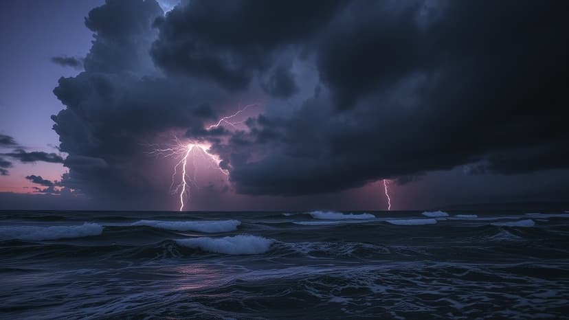
Western Australia is set to experience a significant storm system, with residents in the south-west warned of destructive wind gusts potentially surpassing 125 km/h from Saturday evening. These winds are comparable to category two cyclones and may be accompanied by thunderstorms, heavy downpours, flash flooding, damaging surf, and a risk of tornadoes. The Bureau of Meteorology has issued a warning for the entire south-west of WA.
The storm system, a deep low-pressure system dragging tropical moisture, is expected to bring six-hourly rainfall totals of up to 60mm in central west areas through Sunday morning. Abnormally high tides and damaging surf are also predicted along the entire south-west coastline. Low-lying areas face flooding risks, with warnings for residents to avoid surf and exposed areas.
Following the initial impact, a second round of gusts up to 125 km/h is anticipated for Sunday night between Lancelin and Albany, including Perth. The system is forecast to move east, affecting South Australia by Sunday and bringing rain and wind to parts of Victoria and New South Wales on Monday and Tuesday. This will usher in a noticeable cool, "wintry blast," with wind gusts of 50 km/h forecast for Melbourne and potential snowfalls in alpine areas of Victoria early next week.
