Home / Weather / UK Braces for Arctic Blast: Snow, Wind, and Rain Barrage
UK Braces for Arctic Blast: Snow, Wind, and Rain Barrage
6 Jan
Summary
- Southern England may see snow on higher ground Thursday and Friday.
- Disruptive wind and rain possible if low-pressure system takes northern route.
- Amber cold health alerts issued for England until Friday.

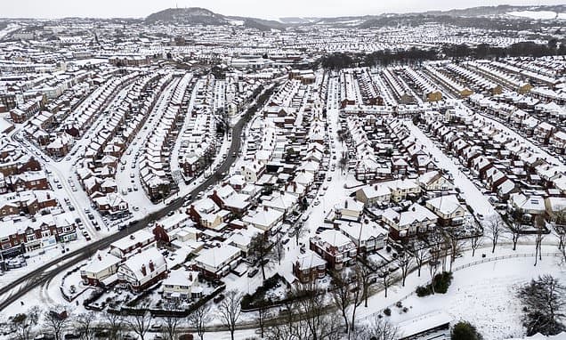
Southern England could experience disruptive snow, wind, and rain this week as an Atlantic low-pressure front interacts with an Arctic airmass. Higher elevations in southern areas may receive snow on Thursday and Friday. Depending on the storm's trajectory, northern and central England could face more significant snowfall, alongside strong winds and rain.
Forecasters suggest a 20% chance of a northern route for the low-pressure system, which would bring widespread "disruptive" wind and rain to England and Wales, with potential for more snow in northern England, southern Scotland, and Northern Ireland. Conversely, a 30% chance exists for the front to move through northern France, causing disruptive snow in southern English counties, particularly at higher altitudes.
Amber cold health alerts have been issued across England, remaining in effect until Friday, warning of adverse temperatures impacting health and wellbeing. Overnight temperatures are expected to fall below freezing nationwide, with potential lows reaching minus 12C over lying snow. This follows a period of disruption including school closures, flight cancellations, and train delays.


