Home / Weather / UK Weather Alert: Snow Possible as Chilly Snap Hits
UK Weather Alert: Snow Possible as Chilly Snap Hits
9 Mar
Summary
- Warmest day of the year so far followed by rain and showers.
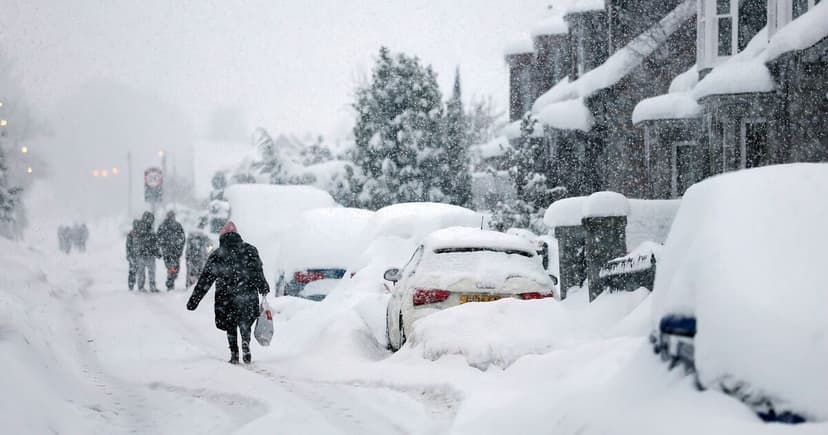
- Snow is possible on Friday, potentially affecting lowlands.
- Changeable conditions with rain and frost expected until March 22.
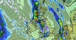
Following a peak temperature above 19C in London last week, the UK's weather is shifting to a more unsettled pattern. Early this week saw cloudy conditions with rain moving across the country. Temperatures are predicted to become cooler by Friday, with a possibility of snow, which could affect areas beyond just the northern hills.
From March 13 to March 22, the Met Office anticipates "changeable" conditions as Atlantic weather systems approach the UK. Residents should prepare for occasional rain or showers, particularly in western and northwestern regions. While temperatures are expected to be near average for this period, shorter spells of colder weather are possible, potentially bringing frost and snow limited to higher ground.
BBC Weather forecasts a slightly cooler period from March 16 to 22, with daily temperatures varying due to Atlantic systems. These systems will also bring showers, and there remains a chance of wintry showers over northern high grounds.