Home / Weather / Arctic Blast Brings Snow to UK This Friday
Arctic Blast Brings Snow to UK This Friday
29 Jan
Summary
- A 500-mile surge of polar air is expected Friday.
- Snow, sleet, and heavy rain will impact large UK areas.
- Northern England, Scotland, and Midlands are most at risk.

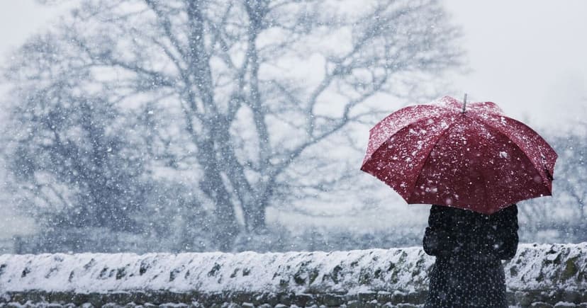
Britain is anticipating a widespread disruption this Friday due to an incoming Arctic blast. A 500-mile surge of polar air is expected to bring a mix of snow, sleet, and heavy rain to large parts of the country.
Weather maps indicate that a powerful low-pressure system sweeping in from the Atlantic will drag bitterly cold air southward. This phenomenon is likely to trigger significant snowfall, particularly across northern England, Scotland, and the Midlands. Areas in Scotland such as Aberdeenshire, Dundee, and Angus, along with parts of Northumberland, Cumbria, and Yorkshire in northern England, are at high risk.
Disruptive snowfall could also affect parts of the Midlands, including Staffordshire and Leicestershire, as precipitation intensifies. The Met Office forecasts unsettled conditions for Friday with brisk winds and rain for many, though the weekend is expected to be less breezy with scattered showers. Northern Ireland faces a Yellow warning for rain, with potential for 10-25 mm rainfall and up to 60 mm in hilly areas.


