Home / Weather / UK Heatwave Ends: Thunderstorms & Rain Arrive
UK Heatwave Ends: Thunderstorms & Rain Arrive
13 Aug
Summary
- Hot weather in England and Wales will be replaced by cooler, cloudier conditions.
- Isolated thunderstorms are possible in the southeast on Saturday.
- Rain is expected to spread across much of the UK from August 17.
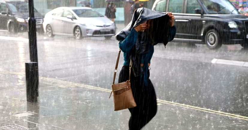
The prevailing hot spell across much of England and Wales is drawing to a close. A weak cold front is forecast to introduce cooler, cloudier weather conditions from the west. Residents in the southeast should anticipate the possibility of isolated afternoon thunderstorms.
Sunday is predicted to be predominantly dry and sunny. However, rain is expected to arrive in the northwest later in the day, signaling a shift in conditions. These wetter and breezier conditions are forecast to become more widespread across the country by Monday.
Looking ahead to August 17, rain originating from the Atlantic is expected to affect numerous parts of the UK. The heaviest rainfall is most likely to occur over higher elevations in the northwest. Despite these changes, temperatures are anticipated to remain close to or slightly above the seasonal average.
As the forecast period extends towards August 26, conditions are expected to dry out for many regions. Nevertheless, some rain may persist in the northern areas. There remains a chance of thunderstorms developing in the south, with temperatures likely to stay above average.


