Home / Weather / Texas & Louisiana Brace for Tornado Fury
Texas & Louisiana Brace for Tornado Fury
24 Nov
Summary
- Tornado watch issued for Louisiana and Texas until 7 p.m. CST.
- Strong storms developing north of Houston with rotation detected.
- November is Houston's peak month for tornadoes, with history of destructive storms.

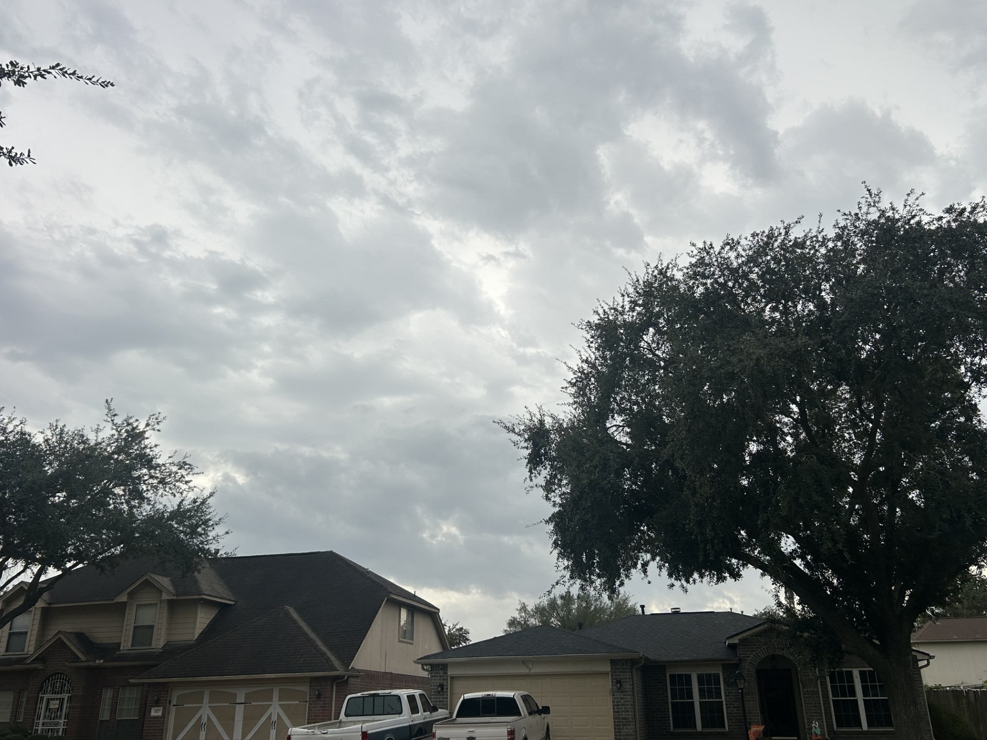
A tornado watch has been issued for portions of Louisiana and Texas, expected to remain active until 7 p.m. CST on Monday. The National Weather Service in Houston has warned residents to seek immediate shelter as strong storms push into Southeast Texas, with rotation detected near Montgomery and San Jacinto counties.
Meteorologists anticipated this volatile weather setup, noting a warm front had returned muggy air and high temperatures to the region. The main line of storms is predicted to move into Houston later Monday evening, bringing possible damaging winds up to 50 mph and large hail, alongside a quarter to three-quarters of an inch of rain.
Despite late-season timing, November is statistically Houston's busiest month for tornadoes. The city has a history of significant storm activity during this period, including a destructive F4 tornado in Channelview in 1992. All forms of severe weather, including hail and damaging winds, remain possible.


