Home / Weather / Texas Braces for Wild Weather Shift: High Winds, Fire Danger Ahead
Texas Braces for Wild Weather Shift: High Winds, Fire Danger Ahead
15 Mar
Summary
- Temperatures to climb into the 80s before a cold front arrives Sunday.
- Gusty winds up to 50 mph are expected, prompting a wind advisory.
- High fire danger and a red flag warning are in effect for parts of Texas.

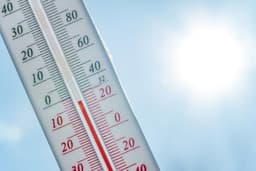
Meteorologist Lauren Bostwick joined the First Alert Weather Team in June 2025 as the weekend meteorologist. Sunday will begin with unseasonably warm temperatures in the mid-60s, but a rapid climb into the 80s is anticipated by late morning. A strong cold front is expected after lunchtime, ushering in gusty winds potentially reaching 50 mph and causing temperatures to plummet.
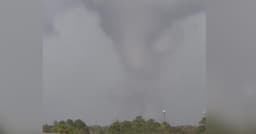
A wind advisory is active until 1 a.m. Monday due to sustained northwest winds of 20-30 mph with gusts up to 50 mph. Combined with warm temperatures and low humidity, this creates a high fire danger, leading to a red flag warning. Residents are urged to avoid activities that could cause sparks.
While North Texas is expected to stay dry, East Texas may experience rain and severe weather developing ahead of the front. The cold airmass following the front could bring freezing temperatures by Monday morning, with wind chills making it feel like the 20s and teens. Colder conditions will persist through Monday, but a rebound is expected for St. Patrick's Day, with near-record highs anticipated on Friday, the first day of spring.